Enjoy this video tour of the exhibition with Museum Manager and Guide, Christine Freije! If you have any questions about this tour and other learning opportunities at the APS Library & Museum, reach out to [email protected]
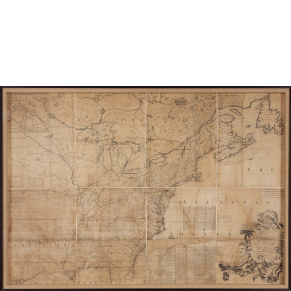
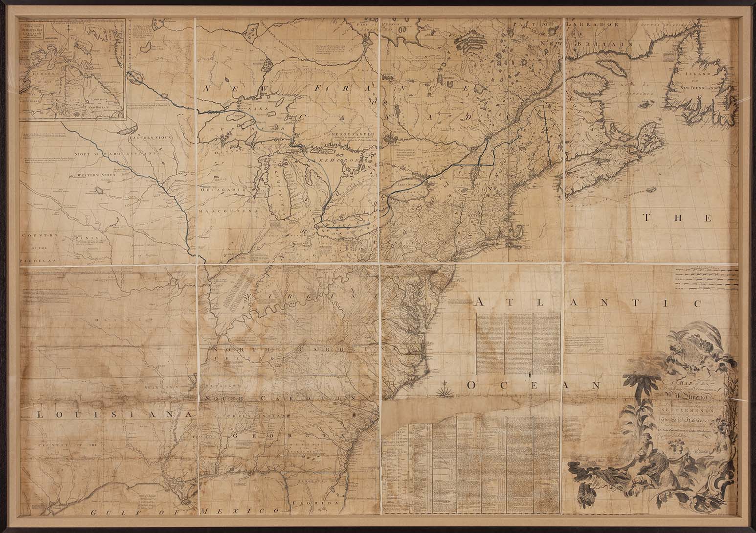
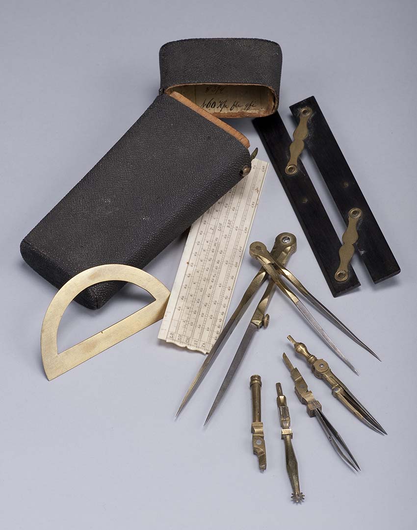
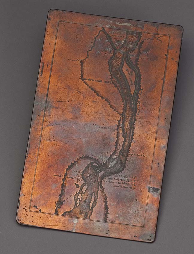
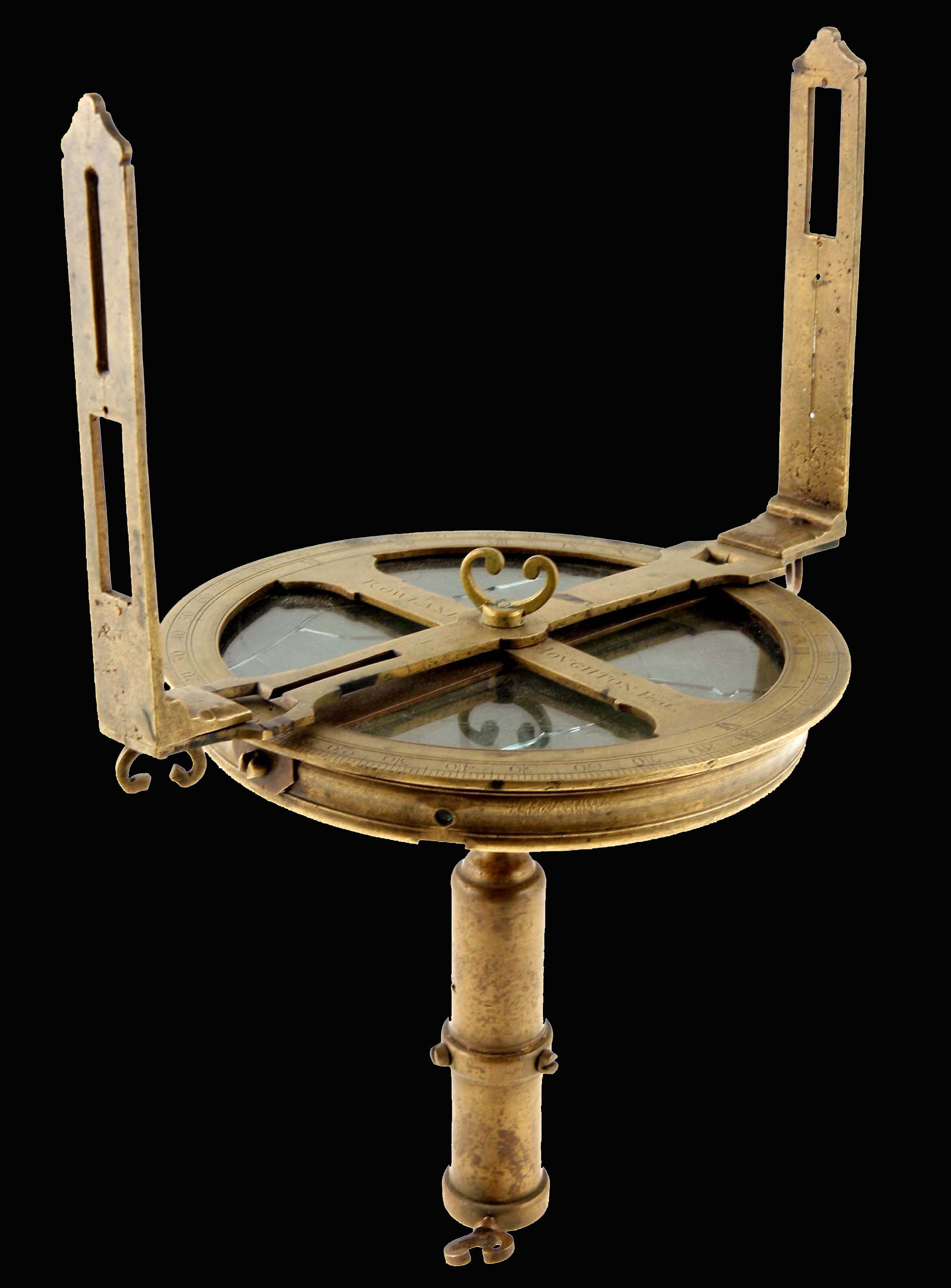
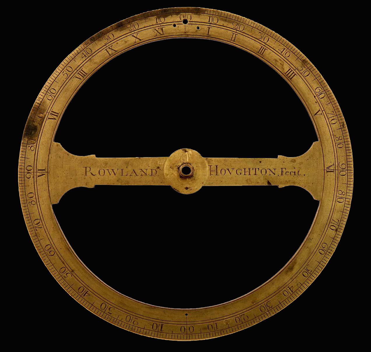
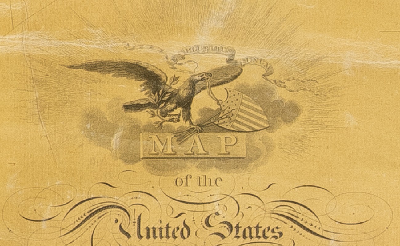
In Early America, people used maps to define physical and political borders and to illustrate ideas about the world. The processes of mapmaking—surveying, drawing, engraving, and printing—could produce competing visions of the same landscape.
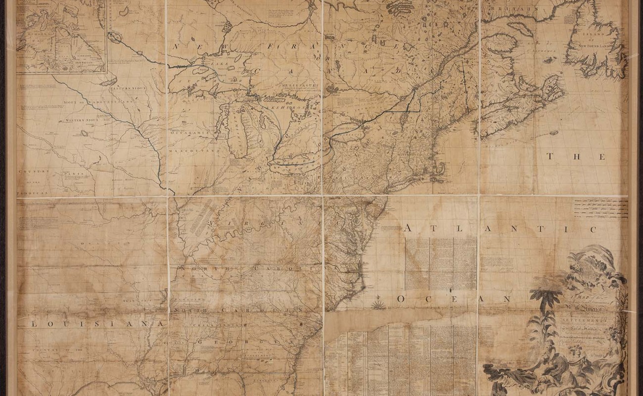
In the 18th and 19th centuries, maps of North America were battlegrounds on which European empires, Native American nations, and North American colonists fought for control of territory and resources. After the American Revolution, maps became part of the nation-building process.
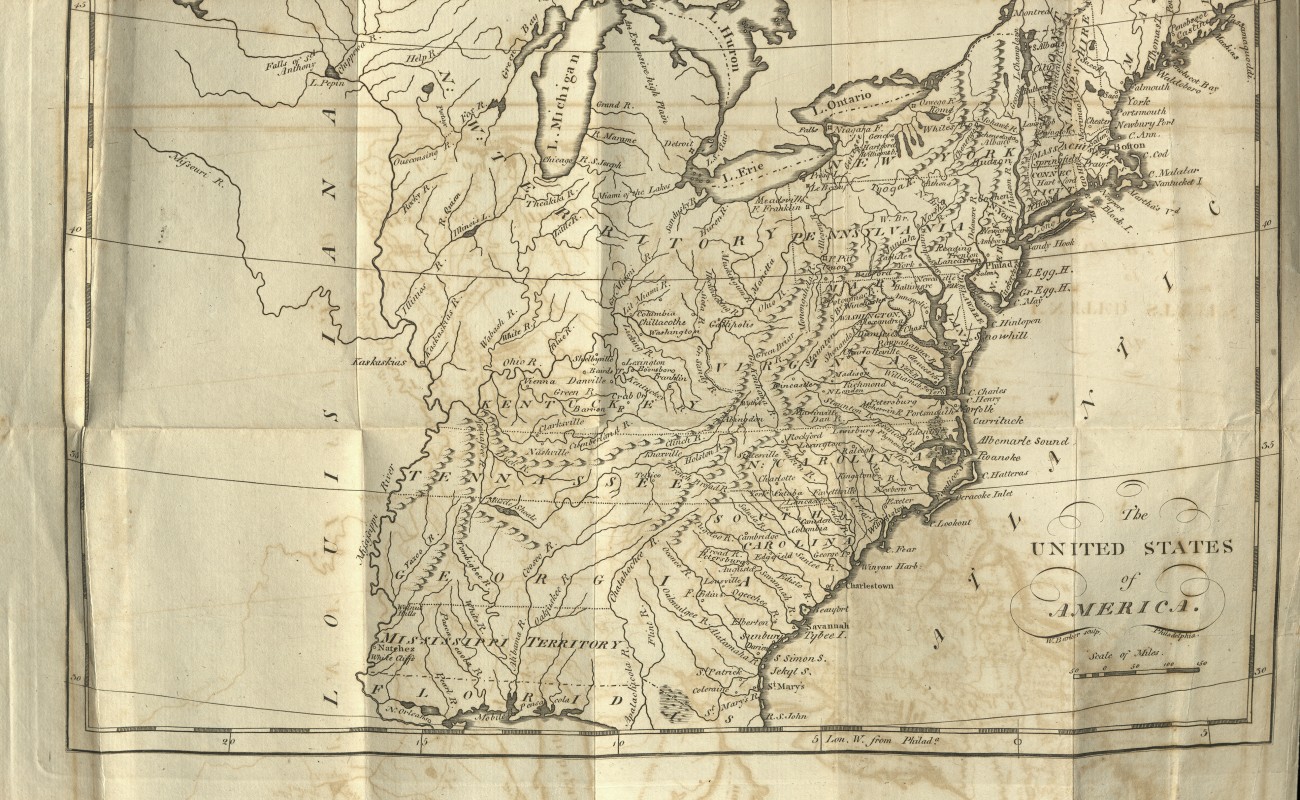
Even as mapmakers sought to represent a connected and united citizenry, maps reinforced the exclusion of many groups from full participation in the new nation. The United States imagined by these maps continued to displace Native peoples from their lands to create spaces for westward expansion. Maps from the Early Republic (c. 1780–1816) reveal just how complicated the process of nation-building was—and continues to be today.
Enjoy this video tour of the exhibition with Museum Manager and Guide, Christine Freije! If you have any questions about this tour and other learning opportunities at the APS Library & Museum, reach out to [email protected]
Support for this exhibition was provided by The Andrew W. Mellon Foundation, the Pennsylvania Historical and Museum Commission's Cultural and Historical Support Program, Philadelphia Cultural Fund, APS Members and Friends, and donations by visitors to the APS Museum.
This exhibition was curated by Dr. Erin Holmes and Dr. Janine Yorimoto Boldt, Andrew W. Mellon Post-Doctoral Curatorial Fellows, and was open to the public from April 12, 2019 until December 29, 2019. It was archived as a digital exhibition on the APS website by Dr. Erin Holmes on August 1, 2019.