Prior to the 1854 Act of Consolidation, which incorporated several districts in Philadelphia County into the City of Philadelphia, Northern Liberties was its own district, similar to other areas that are now neighborhoods within the city. The Northern Liberties Plat Book is a fascinating peek into what was considered an unincorporated area north of Philadelphia between 1825 and 1828.
The volume includes pages of plat maps, showing multiple land parcels at street intersections, some of which are recognizable with street names still used today. Others include streets that have since been renamed or which, in some cases, no longer exist.
An interesting and potentially useful feature of the volume is its inclusion of property owners’ names. This enables researchers to connect these names with records such as deeds, the 1820 and 1830 censuses, church records, and other sources to learn more about the people who lived in Northern Liberties in the early 19th century.
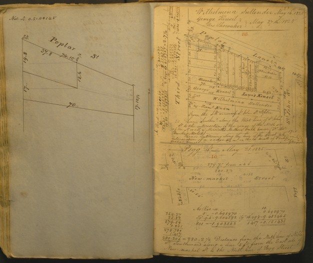
An example is this view of the intersection of Third and Poplar Streets. The number of names on this block provides many possibilities for additional research.
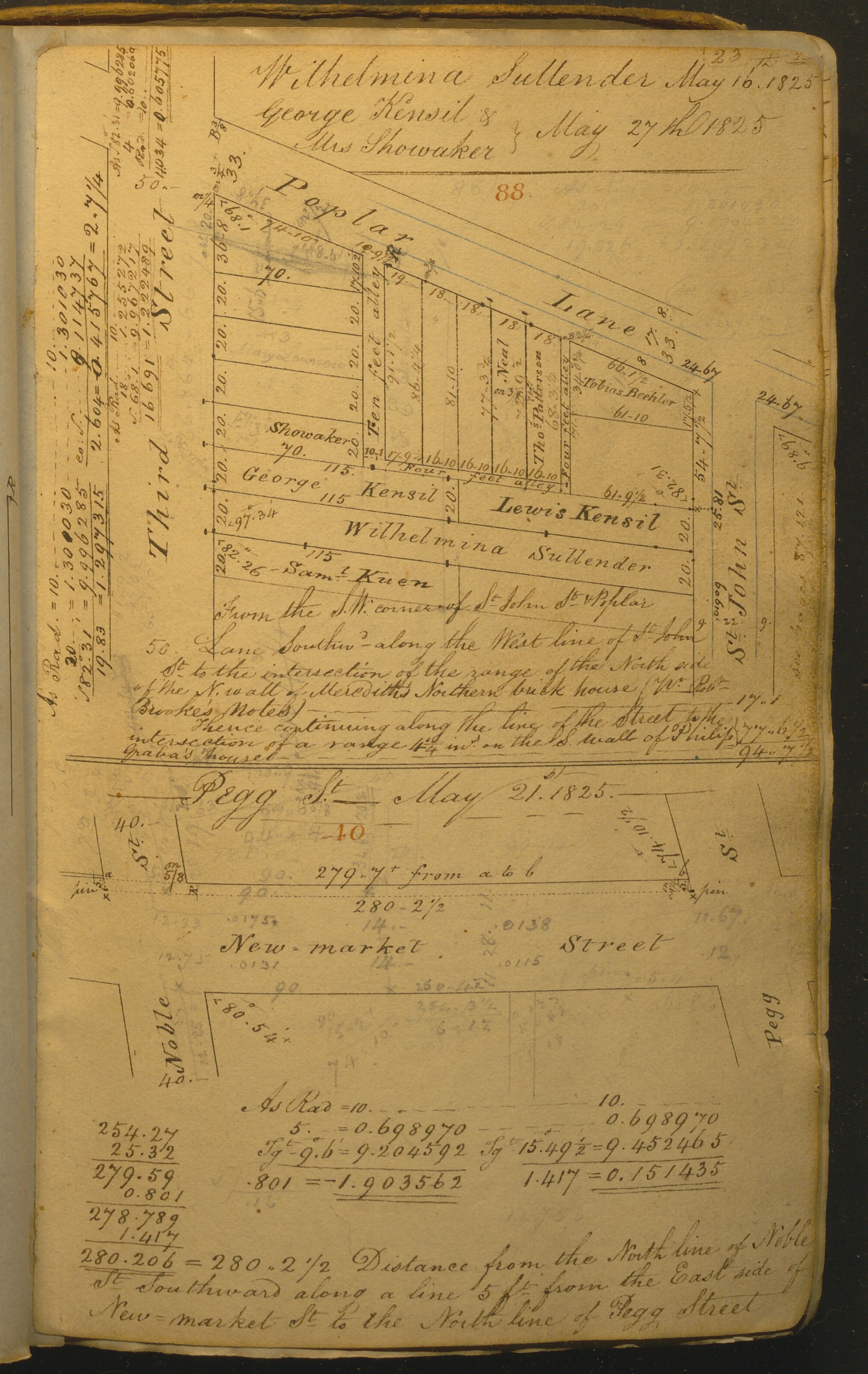
In the center of the tract are the properties of George Kensil and Lewis Kensil. In the 1830 census is a Lewis Kensil with four persons in the household: one male age 40 to 49 (presumably Lewis), one female under age 5 (possibly a daughter or granddaughter), one female 20 to 29 (possibly a daughter), and one female age 30 to 39 (possibly his wife). The George Kensil household could be that of George and Catherine Kensil, born in 1790 and 1793. George lived until 1861 and Catherine until 1876.
Next to the Kensil properties is a less common example of a woman as property owner. Wilhelmina Sullender’s property runs the length of the Kensil properties, from Third Street to St. John Street, below Poplar Lane.
The 1842 will of a Wilhelmina Sullender of Northern Liberties describes a “Lot or piece of ground situate on the East side of Third Street below Poplar Street, formerly called Poplar Lane extending in depth Eastward to a line crossing the centre of the privy on said lot.” The will also includes a reference to “Lot or piece of ground situate on the West side of St. John Street below Poplar Street, formerly called Poplar Lane, extending in depth Westward to a line crossing the centre of the privy on said lot.” Two other properties near the intersection of Third and Poplar are also described in Sullender’s will. The will of Wilhelmina’s husband Jacob Sullender notes that he appointed her guardian of their granddaughter prior to his death in 1810.
The information obtained by using the map and will together also could be useful for the location of privies for archaeological purposes–assuming that the current property owners are agreeable and that this portion of the property does not include buildings that they intend to continue using.
The Northern Liberties Plat Book was deposited at the American Philosophical Society by Roy Goodman, former APS Curator of Printed Materials, in 1984.