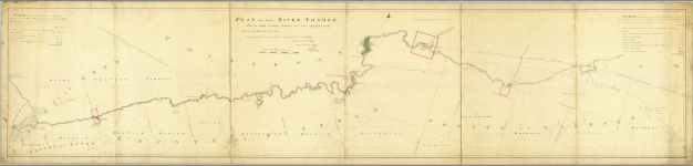
Header Image: Plan of the River Thames from the Upper Forks to its entrance into Lake St Clair. 7 Nov 1795 Archives of Ontario
In 2021, a small group of canoeing enthusiasts set off from the “Forks” of the Thames River in the heart of London, Ontario. Besides being an activity that adhered to social distancing, the goal of going for a paddle was to become reacquainted with the importance of the Thames River to the Munsee people. The group consisted of Munsee Delaware community members and educators from Western University. While there was talk of paddling to the mouth of the Thames River, we decided to spread the journey over multiple days (over several years). Paddling for up to eight hours a day provided an opportunity to listen and learn from the perspective of the river and learn more about Munsee language, story, culture and history.
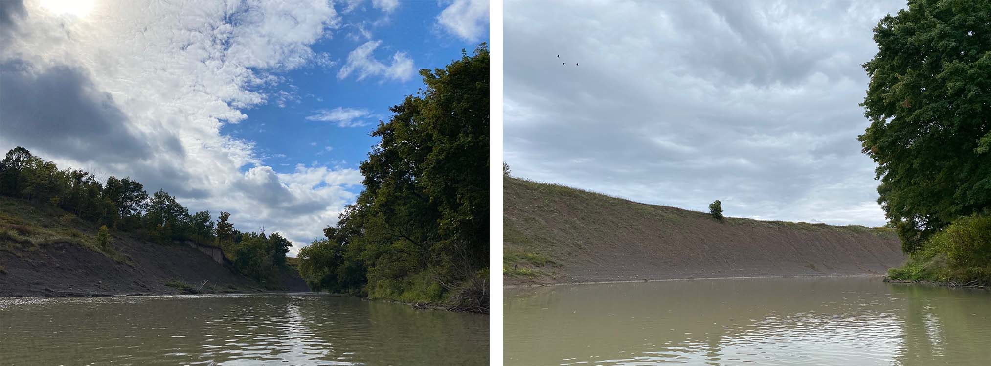
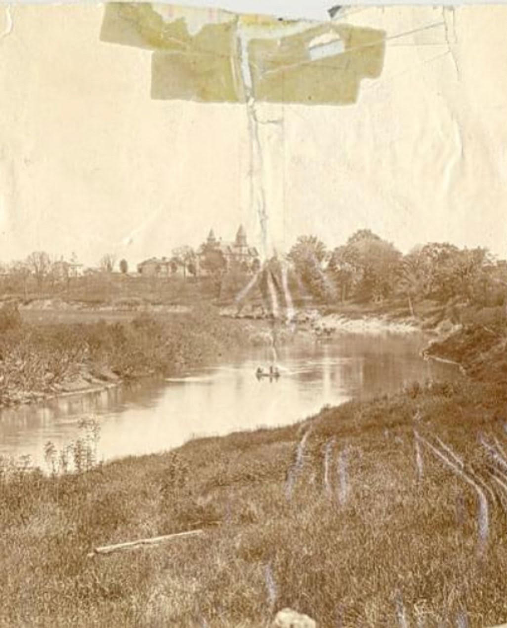
As a language researcher and educator, I wanted to learn more about ways in which the Thames River could “share” with the Munsee language. While having the opportunity to listen to the community’s historian, Mark Peters, whom I shared the canoe with, I tried to immerse myself in my surroundings. The geography and environment of the Thames River, despite the large cities and farmland, can make you think you are in another, more secluded part of the country. Two paths of research emerged after the first leg of the journey: place and the natural ecosystem.
Over the past year, I have had the opportunity to research different language resources. With the support of the American Philosophical Society, the Smithsonian, and the American Museum of Natural History, I have been able to compile over 40 places with Munsee translations in Southern Ontario along the Thames and Grand Rivers, historic locations for the Munsee people and their villages since the 1780s. Miles Beckwith and Ives Goddard have been very helpful in searching for place names within community members’ recordings. In addition, the current dictionary compiled by John O’Meara has been helpful.
Together with the help from Elizabeth Sunderland and Tom Peace of Western University, I was able to develop a map* using GIS in order to better share the research with community and language learners. The map provides place names, audio recordings of the name in the Munsee language, as well as links to research. The meaning behind the place names is provided. For example, Alaamaawung means “down the hill,” which describes Hamilton, Ontario (located below the Niagara Escarpment). In some cases, translation work was done by speakers from Munsee Delaware for common places in the Munsee community.
Future Work? I look forward to following the journey of the Munsee people on rivers south of the Great Lakes.
Anushiik
*This map will be presented by Ian McCallum at a GIS conference at Western University (London, Ontario) the week of November 13, 2023. See here for more information.