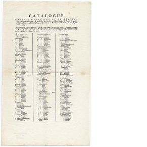
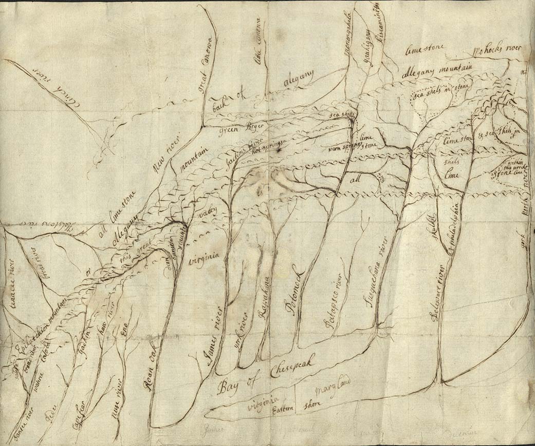
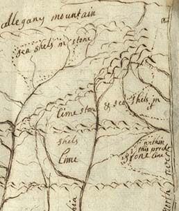
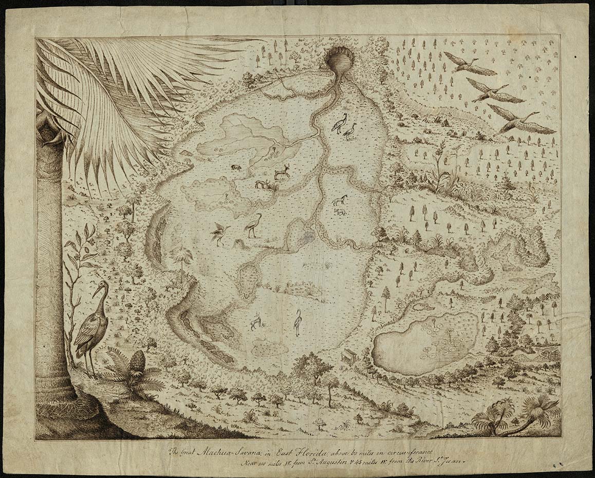
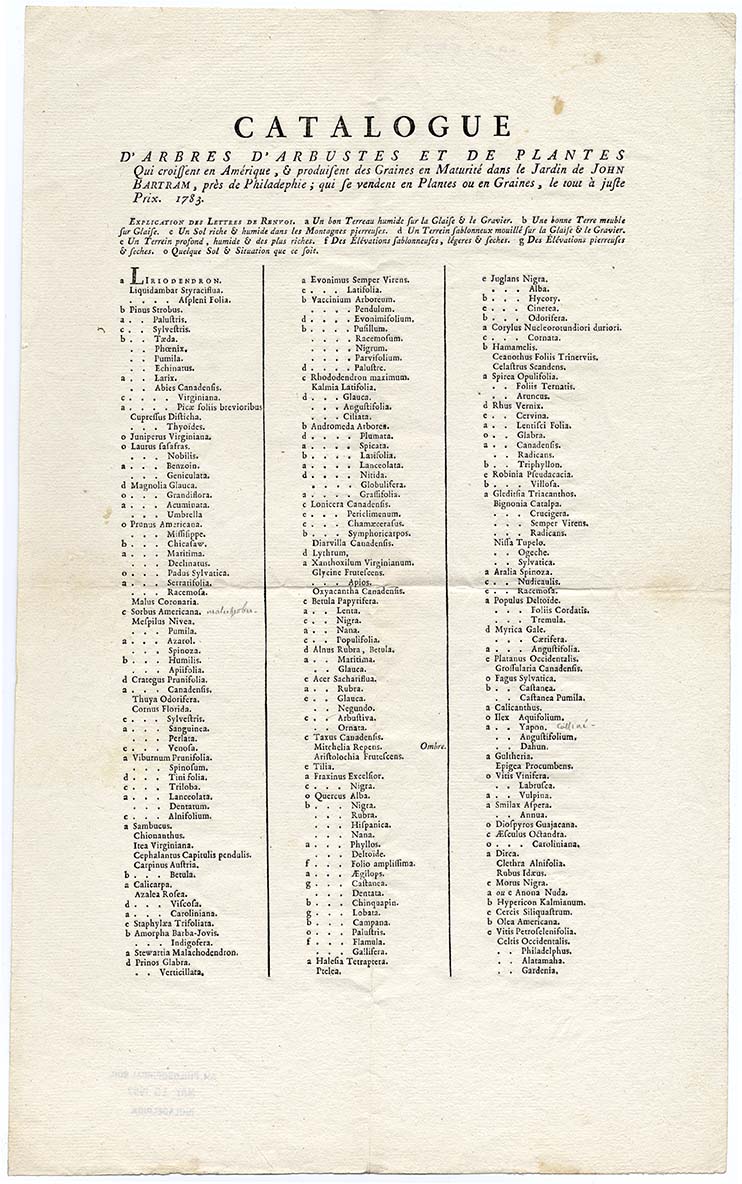
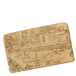
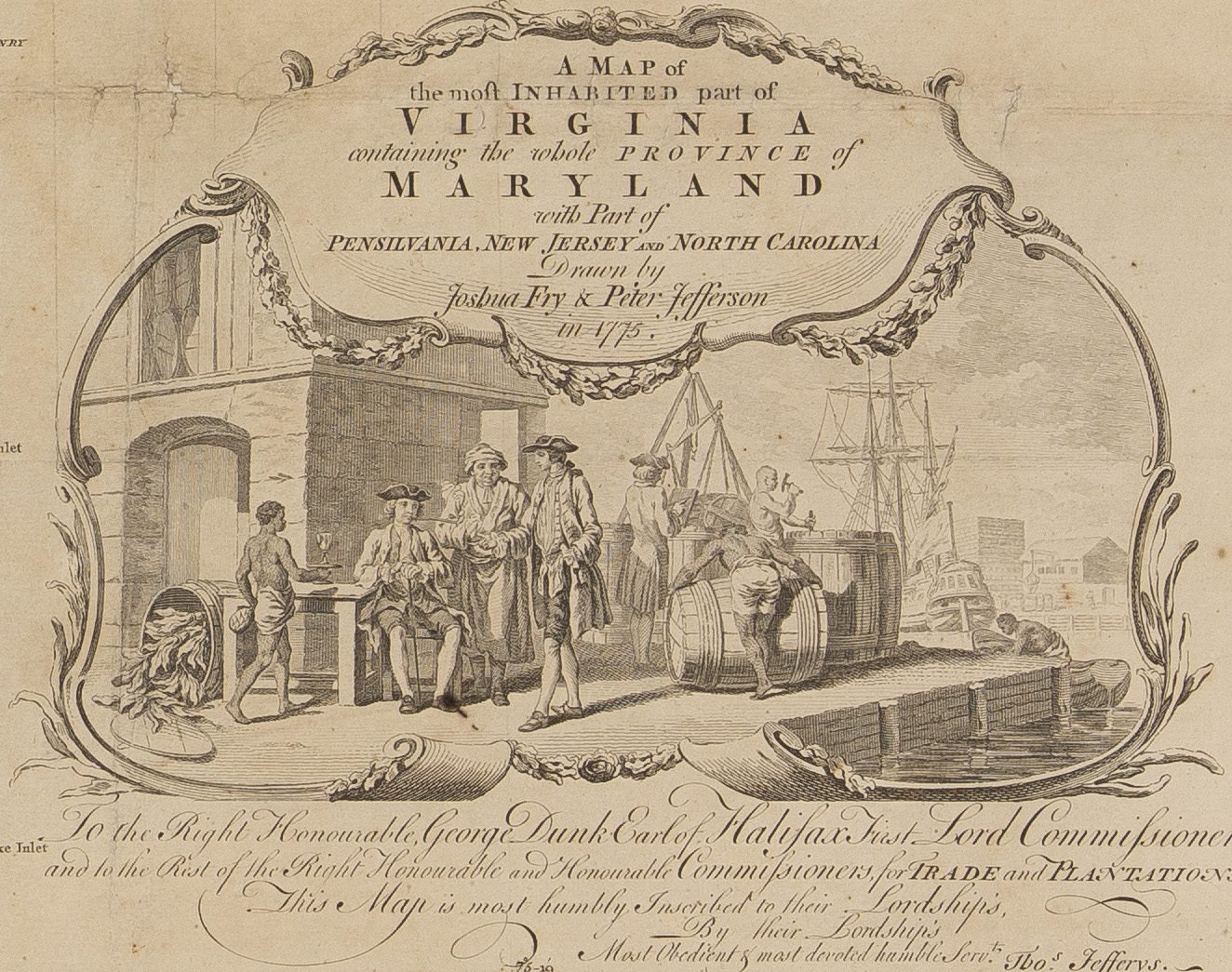
Colonial naturalists and surveyors traveled widely, collecting knowledge of both nature and geography. They relied on their own experiences and Native American informants to produce maps and natural history texts that documented plants and animals. Naturalists and surveyors also collected important information about Native American communities that European governments and colonists could use to their advantage. Their texts, maps, and the specimens they collected illustrated the potential value of colonizing North America.
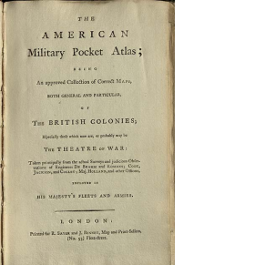
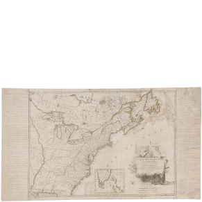
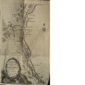
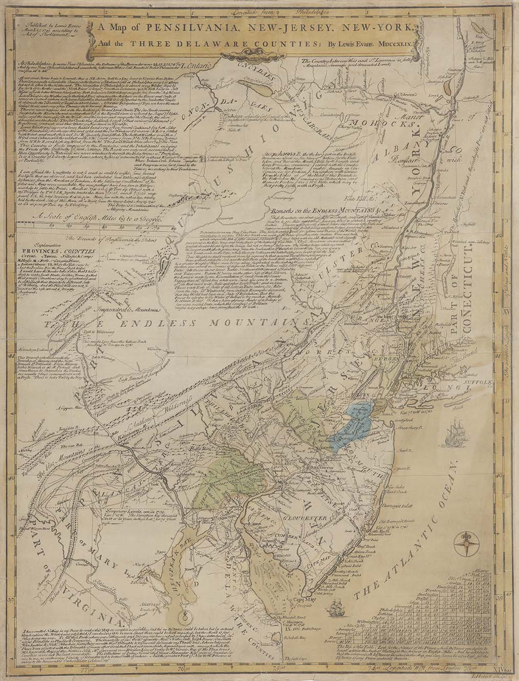
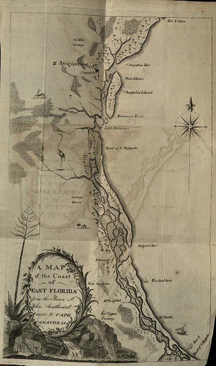
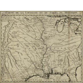
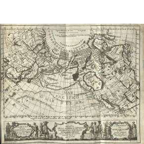
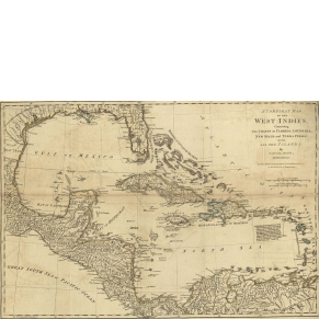
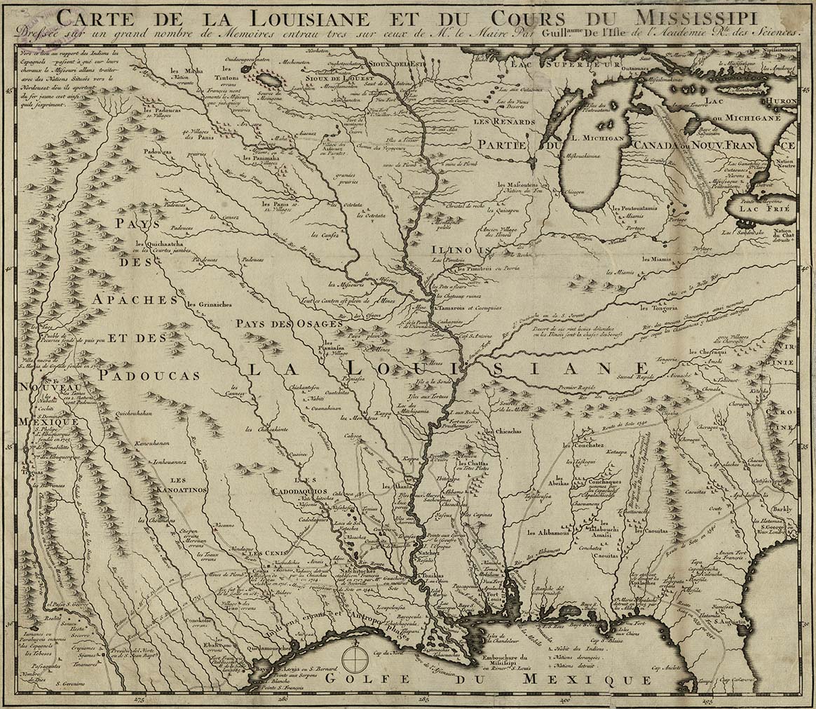
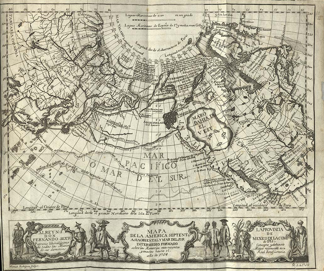
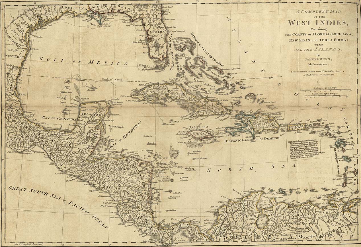
Throughout the 18th century, competing empires used maps to claim territories in North America. To accomplish this, British, French, and Spanish officials sought as much information as possible about the continent’s geography. Colonial surveyors, naturalists, and Native American informants provided intelligence about the people, lands, and resources to officials who used their reports as the foundation for maps of North America.
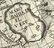
Though maps seem to show stable boundaries and territorial claims, they represent people, objects, and borders in motion and hide the instability of empire. The mapped boundaries between empires meant little to the people who lived within them, particularly Native Americans, whose claim to and knowledge of the land predated European settlement. Nonetheless, the knowledge that maps contained made them important tools of colonization—and rebellion.
The Nature of Empire
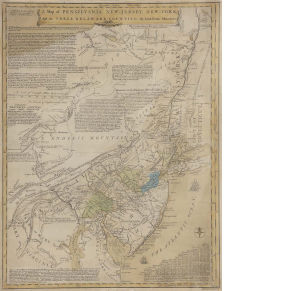
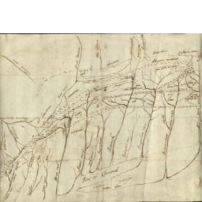

The Art and Science of Surveying
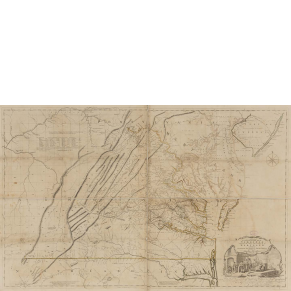
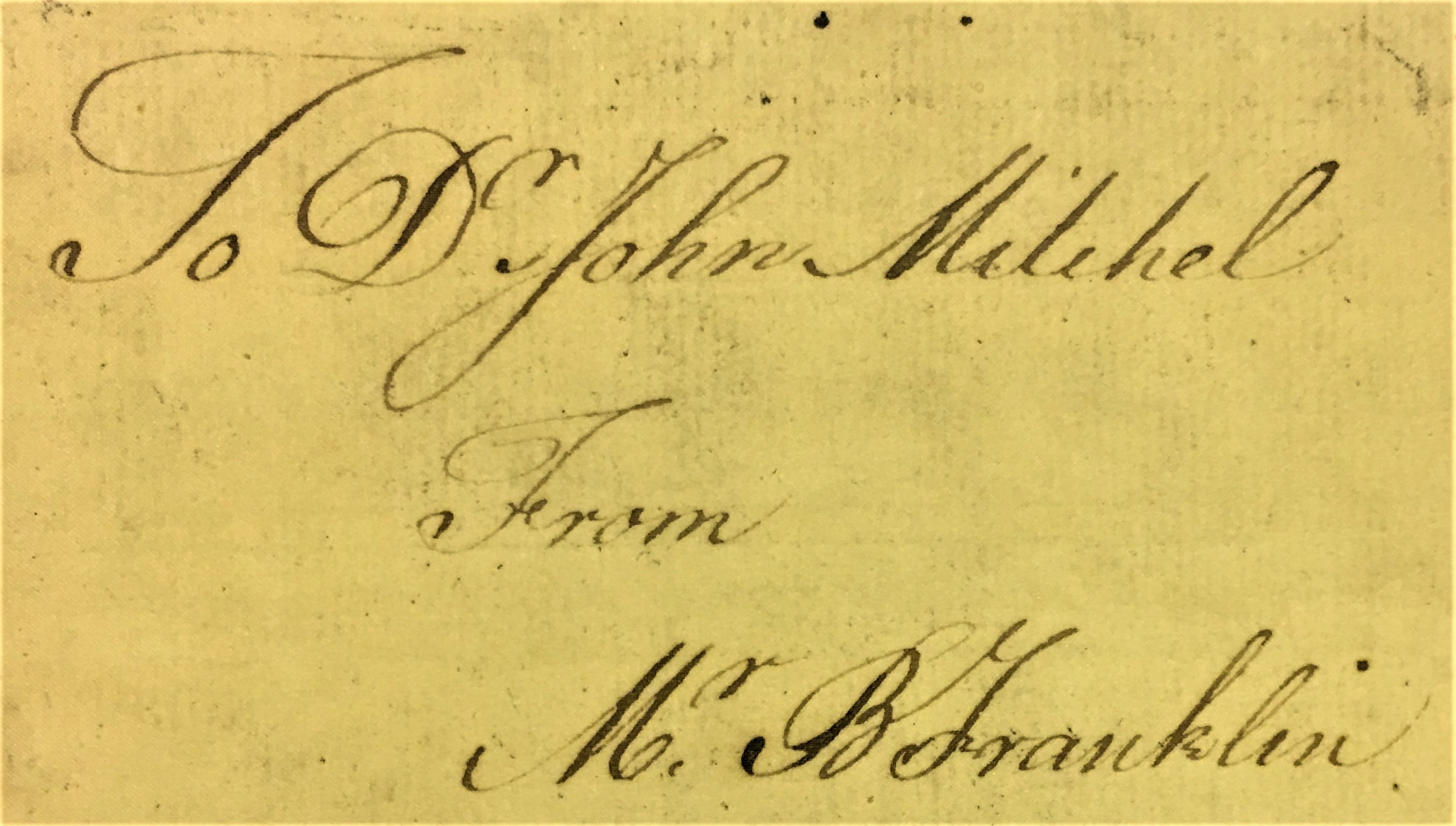
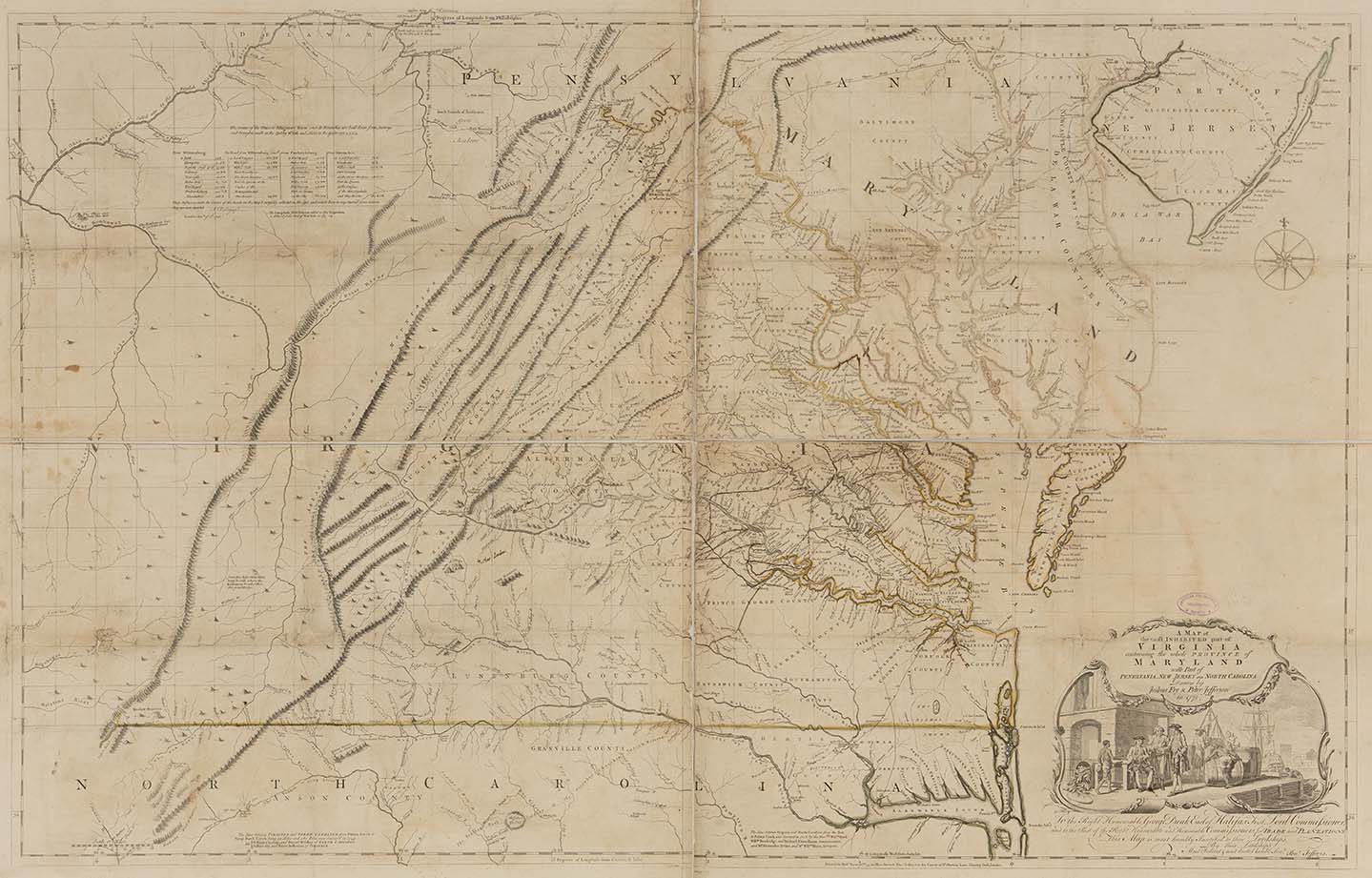
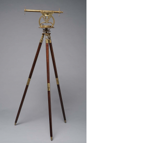
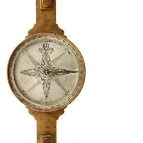
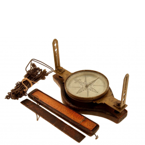
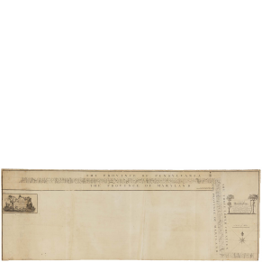
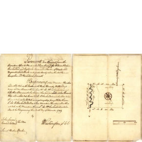
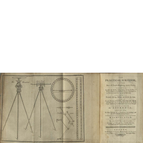
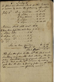
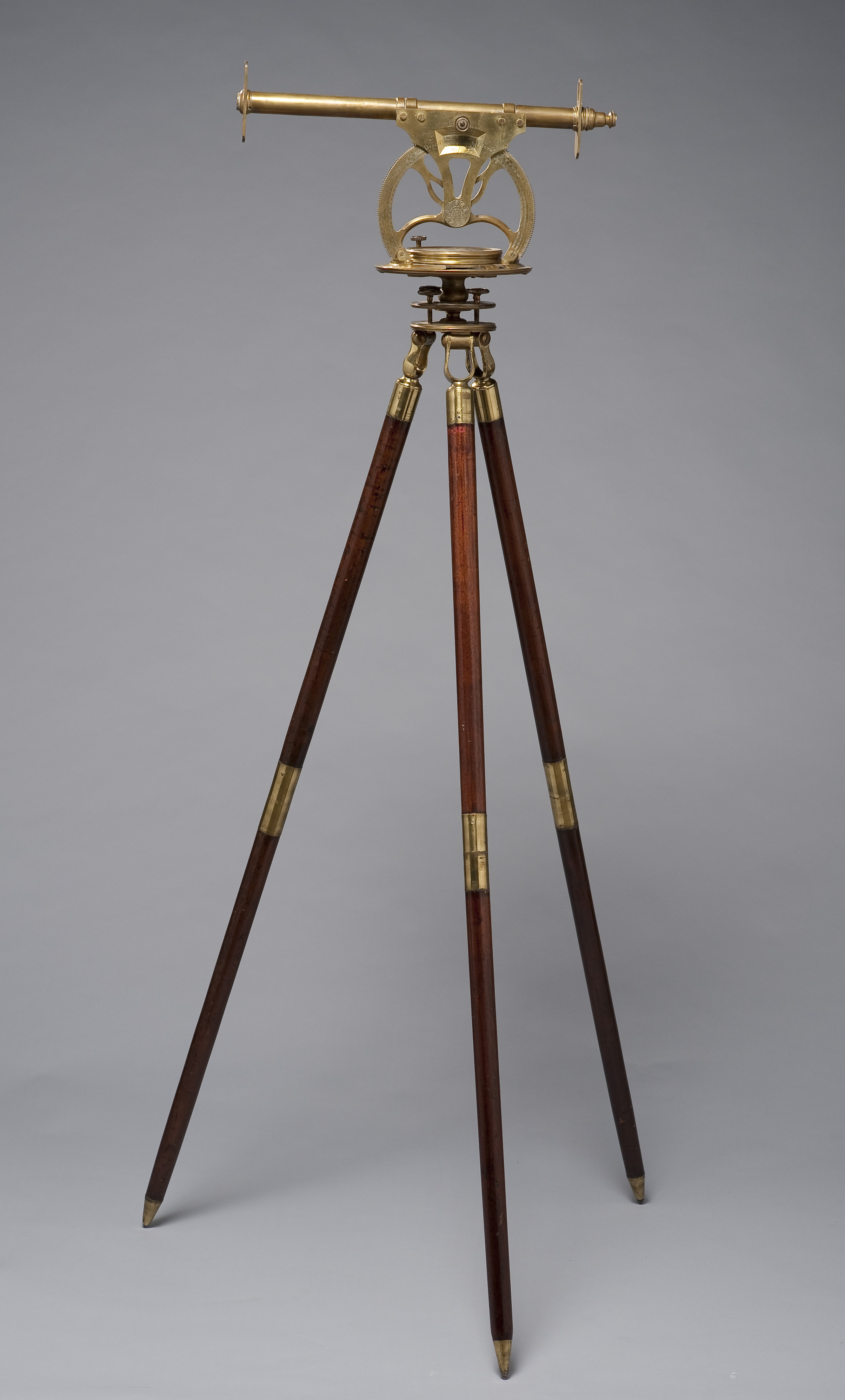
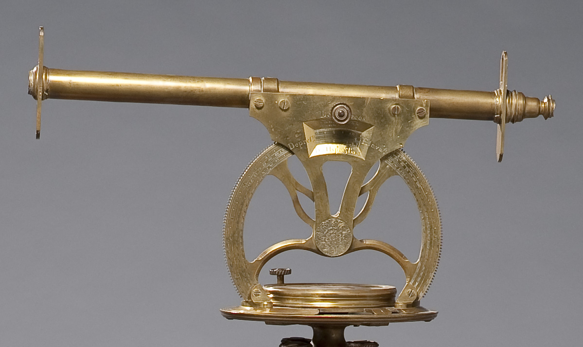
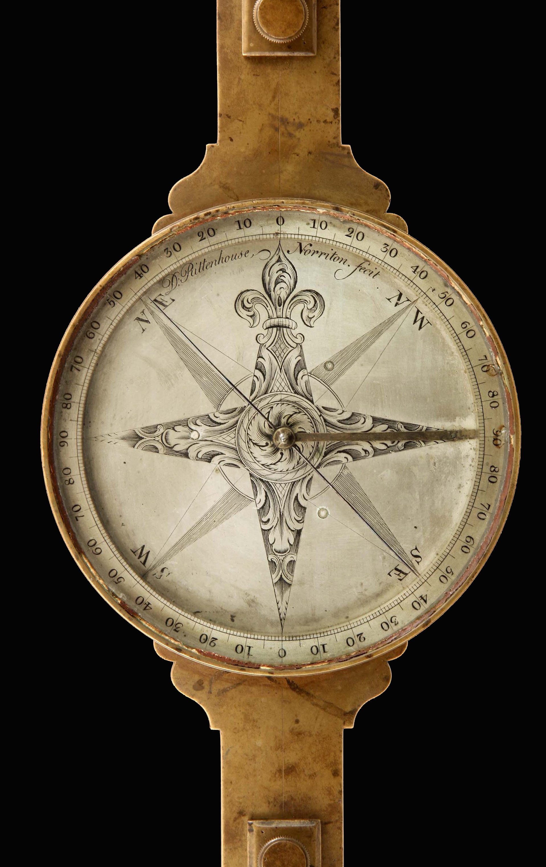
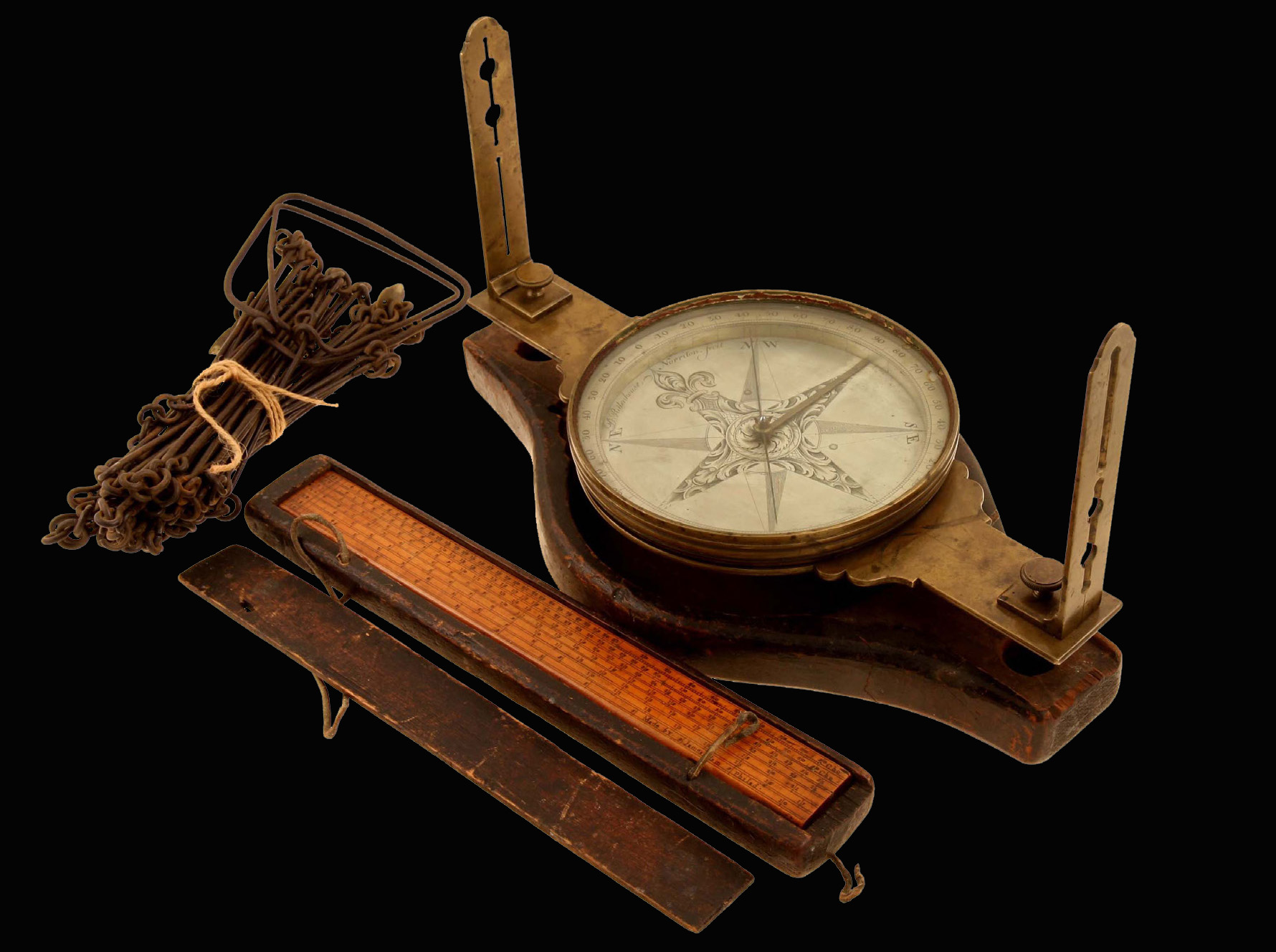
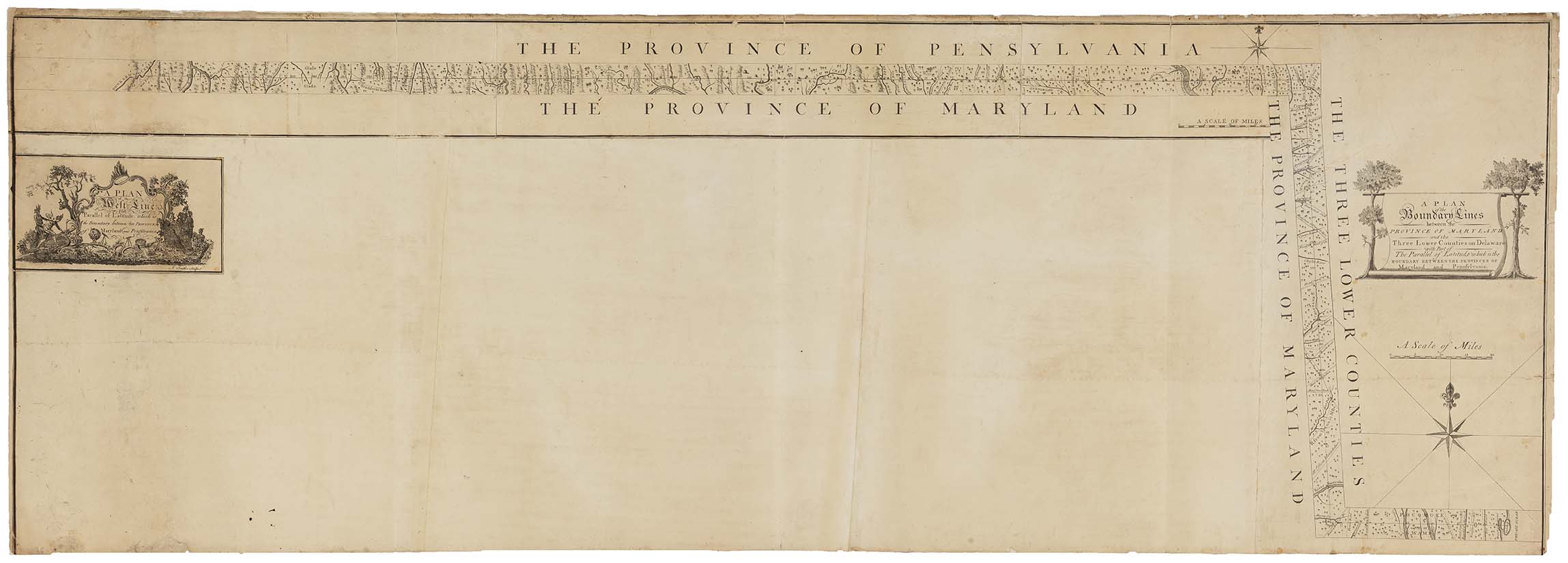
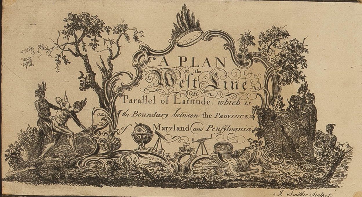
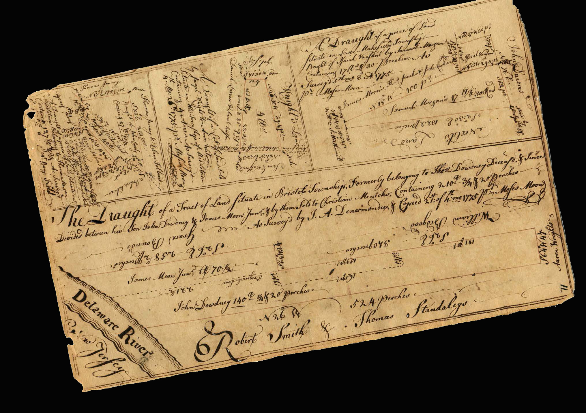
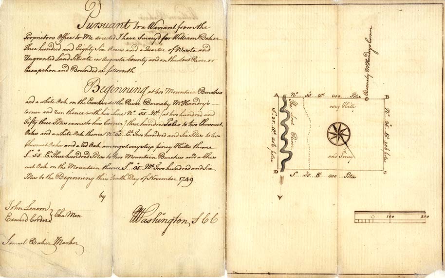
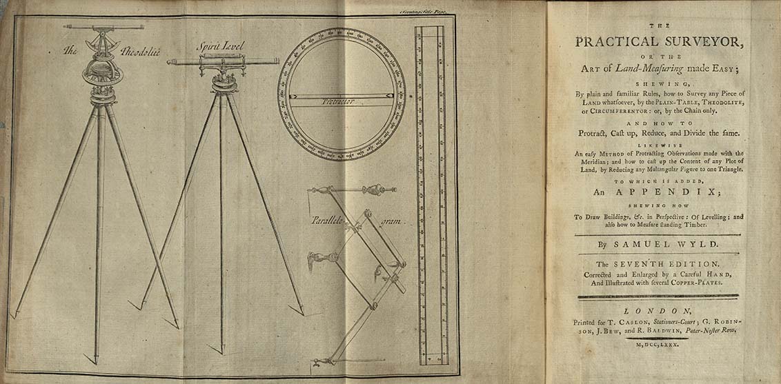
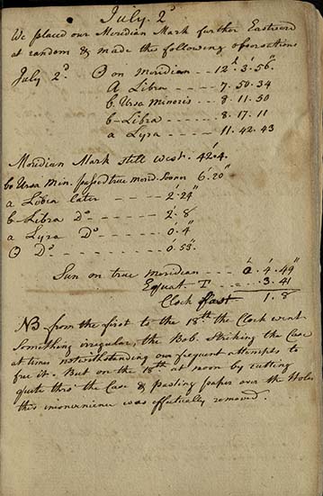
Surveying is both an art and a science. In the 18th century, surveyors needed extensive knowledge of astronomy, geometry, and geography. Accurately measuring land and calculating latitude and longitude were important for resolving territorial disputes and laying claim to land. The surveyor’s toolkit contained scientific instruments including Gunter’s chains, altazimuth theodolites, compasses, and clocks. Drawing surveys required precision, and most surveyors served apprenticeships, were licensed, and held important positions within colonial governments. Surveyors drew borders onto the landscape, and in some cases, as in the measurement of the Mason-Dixon Line, these political boundaries became important cultural borders as well.

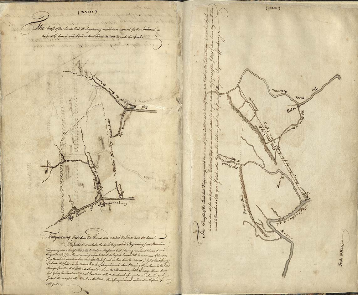
Contesting Empire
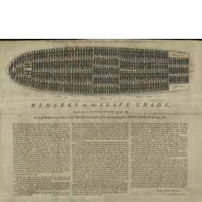
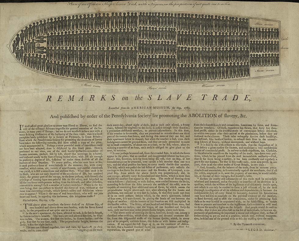
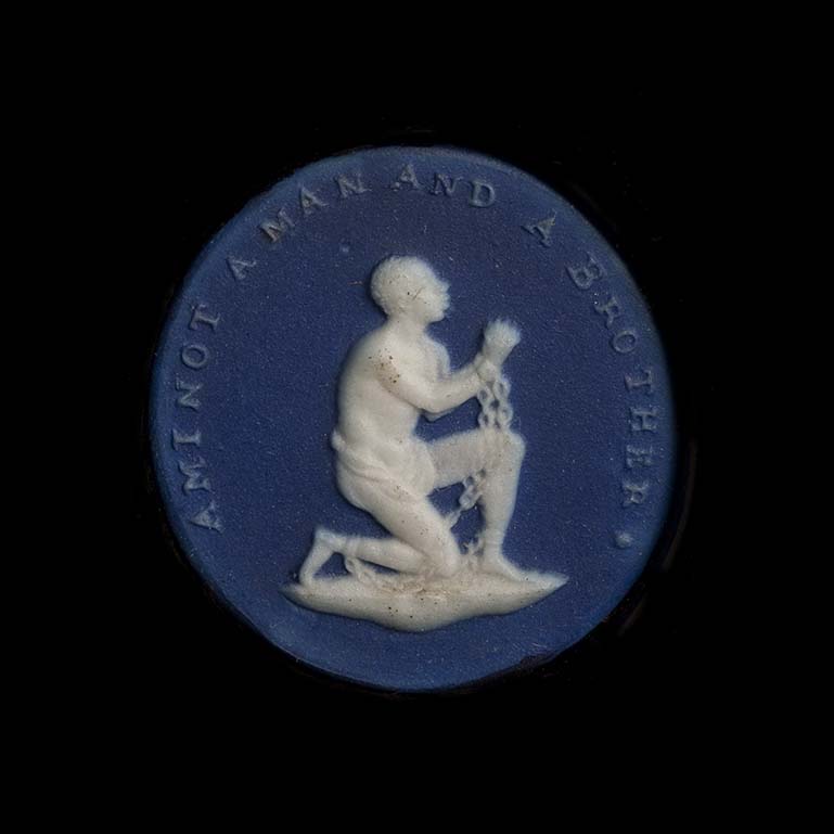
Maps conveyed geographic information needed to establish trade routes and control resources, which were the main goals of colonization. Throughout the 18th century, British, French, Spanish, and Native American competition for control of land, natural resources, and people led to frequent military and political conflict. The mass movement and trade in enslaved Africans created additional instability as growing numbers of Europeans and colonists recognized slavery’s inhumanity. Maps and images from the period reveal the conflicting claims to North America’s people and land, as well as the unstable nature of empire.


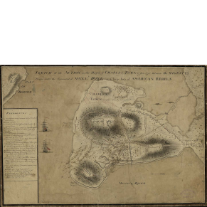
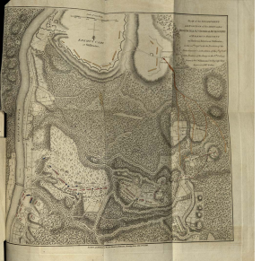
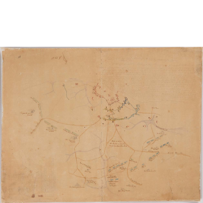
Mapping the Revolution
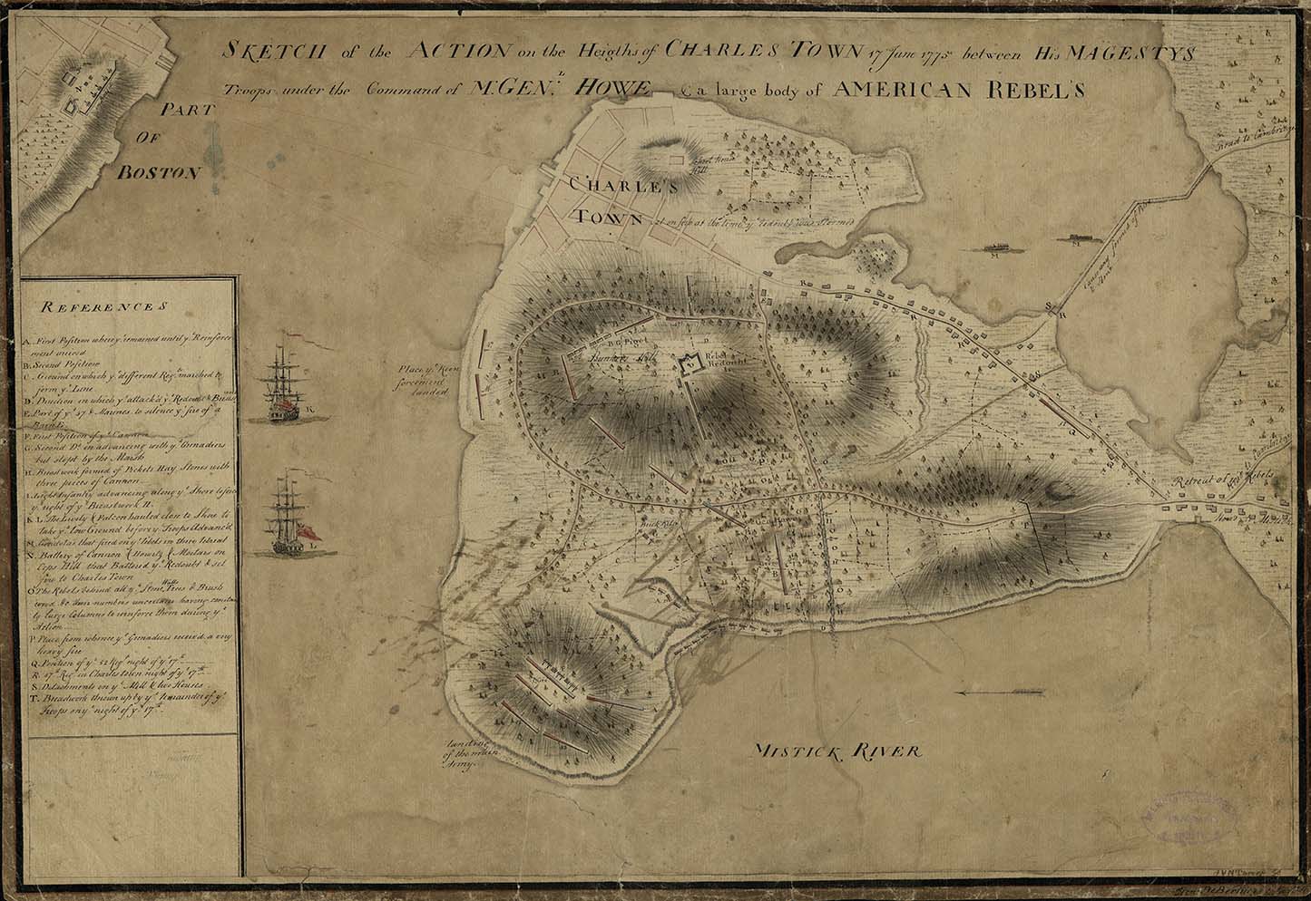
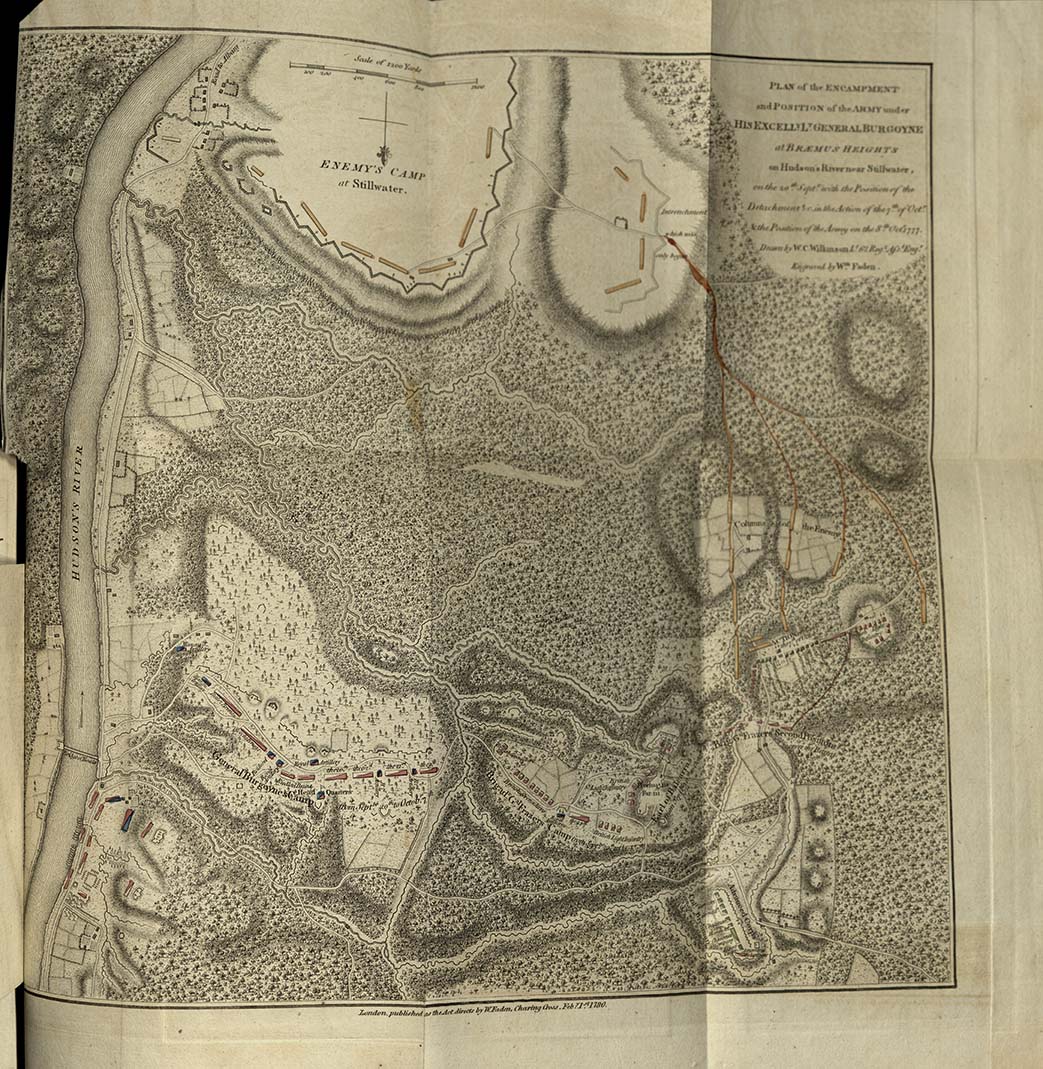
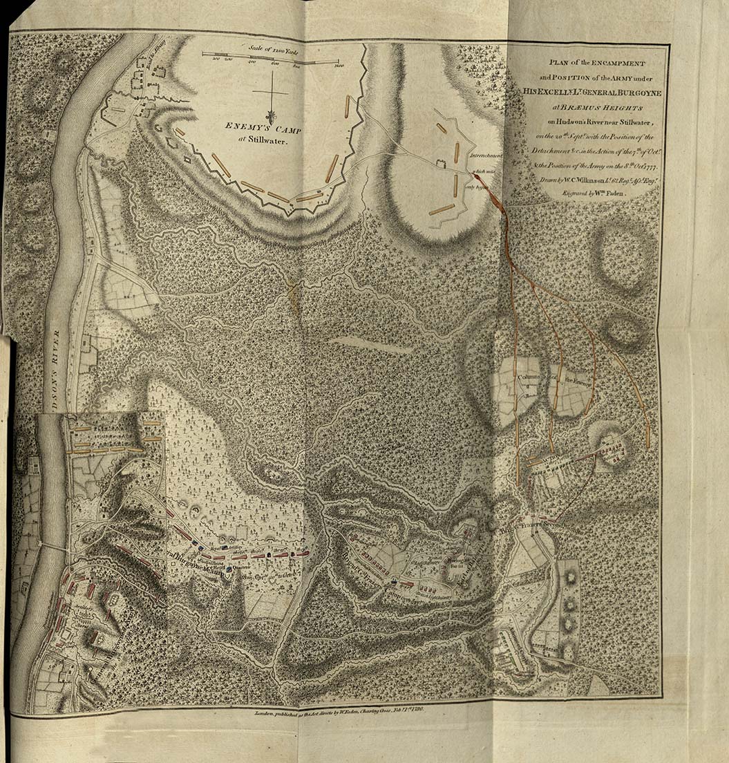
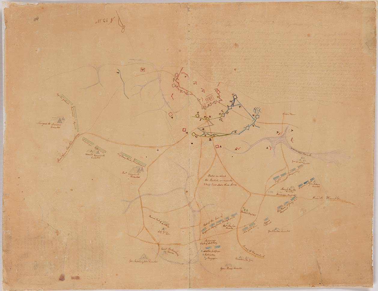
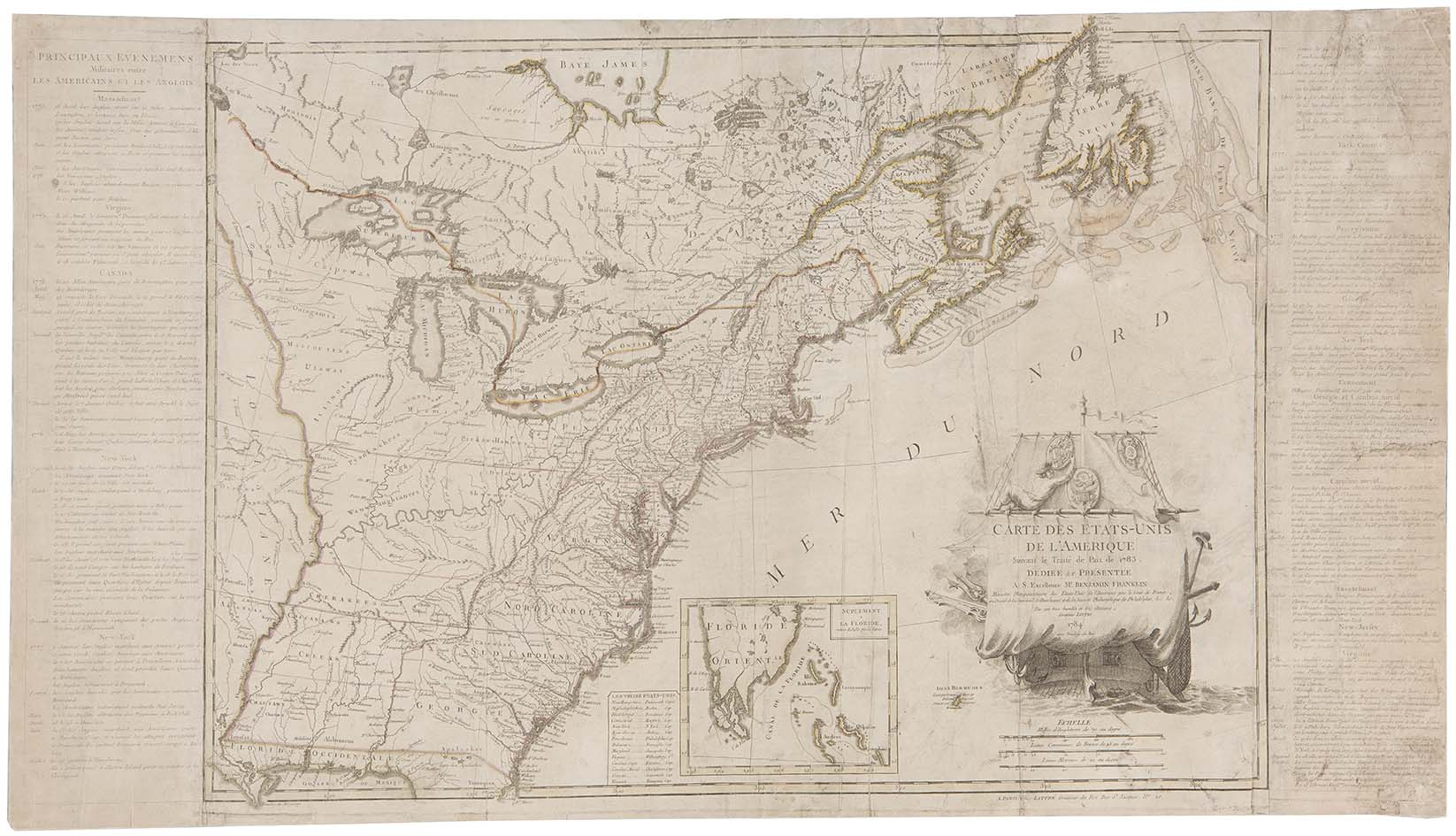
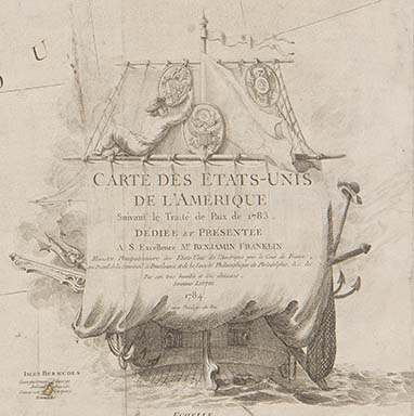
In 1775, violence broke out between colonists and the British Empire. A year later, American colonists declared independence and began a global war. Maps played a critical role in familiarizing soldiers with the terrain, planning military campaigns, and communicating news from the battlefield. After the war concluded, maps aided diplomatic negotiations. The government of the newly united states used maps to determine what the Revolution meant for their territorial claims and to seek international recognition of the new nation.