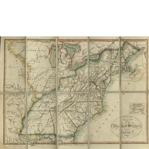
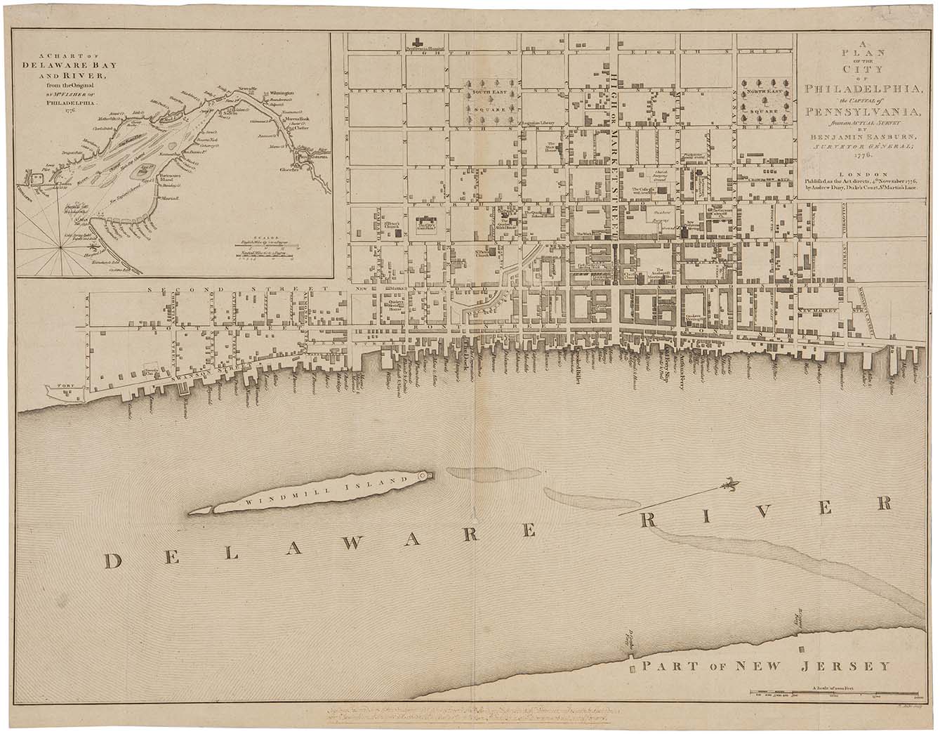
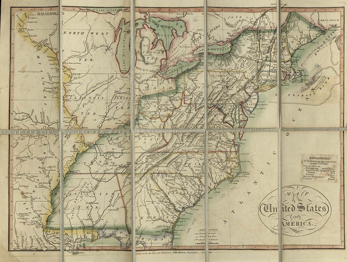
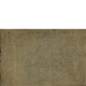
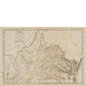
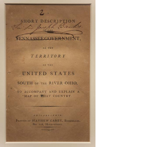
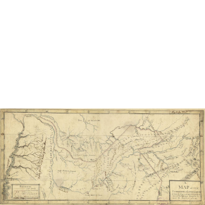
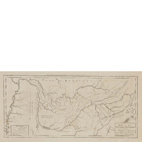
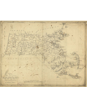
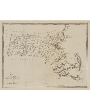
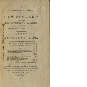
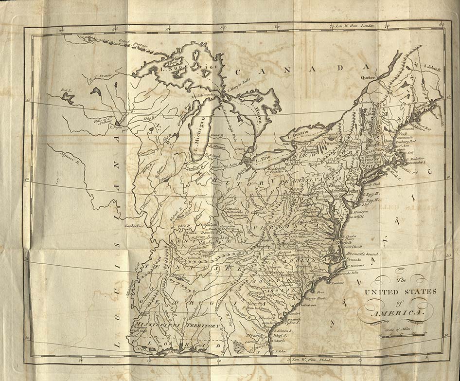
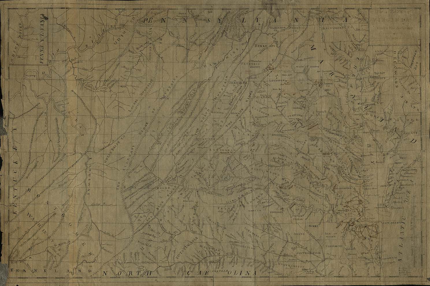
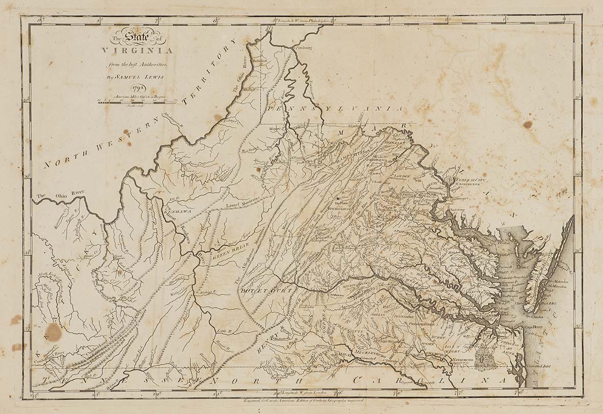
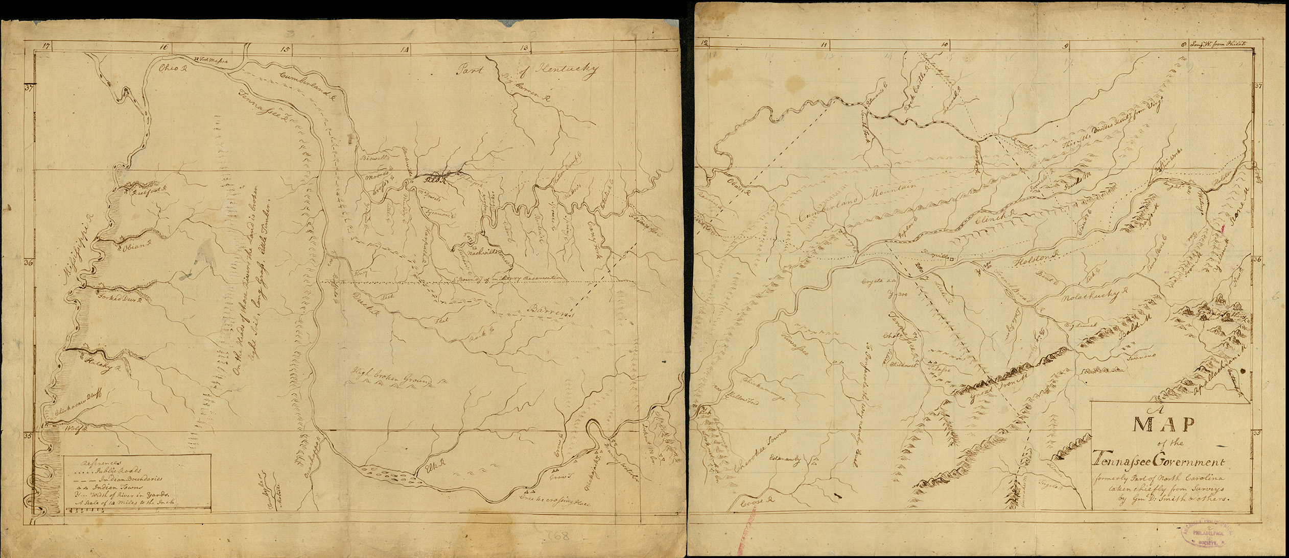
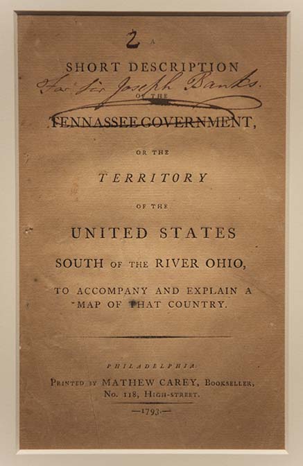
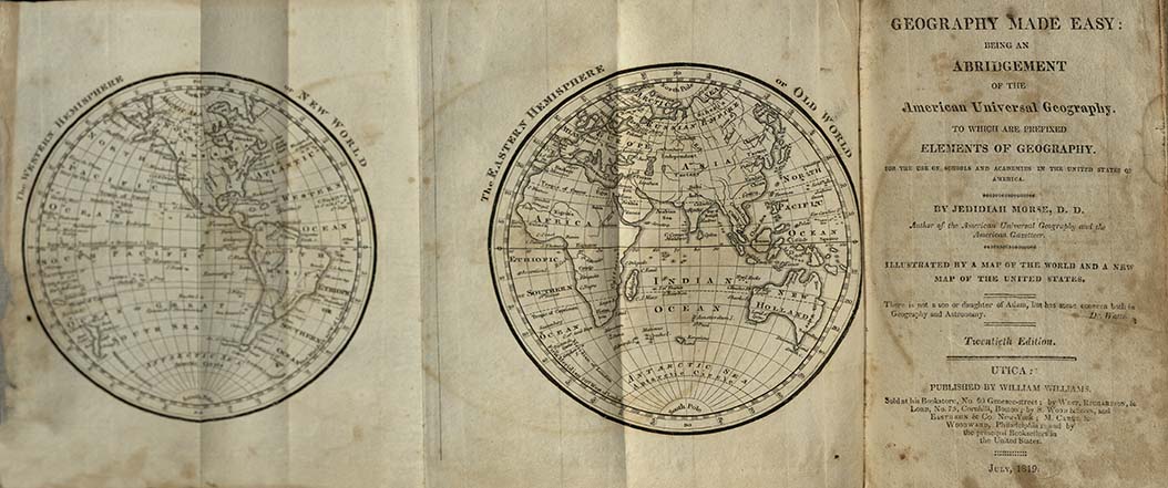
Mapmakers and geographers helped the citizens of the United States understand the country to which they now belonged. They published census data and accounts of local resources alongside maps to familiarize readers with states other than their own. These maps and descriptions of individual states emphasized developing regional identities while maps of the United States tried to create a sense of unity. Eventually, maps, surveys, and census data became critical to the founding of new states beyond the original thirteen.
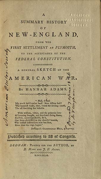
After the American Revolution, mapmakers fashioned a national identity for the United States and defined the new nation’s place in the world. They revised existing maps and geographies, which portrayed North America as inferior to Europe. New maps of the states and geographic texts provided an American perspective on the territories that the United States claimed.
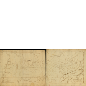
Forging a nation required uniting distant and disparate groups. Geographic texts and maps helped citizens see the states as united, rather than separate. These same publications became a key part of preparing citizens to participate in the young republic. Meanwhile, surveyors undertook national projects, like planning the federal capital and laying out new states and territories. By creating new maps, educating citizens, and drawing borders, mapmakers gave shape to the nation.
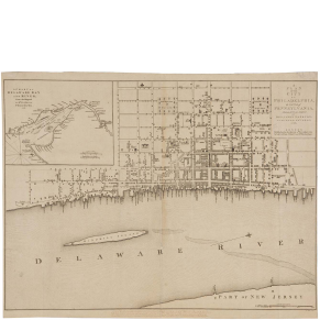
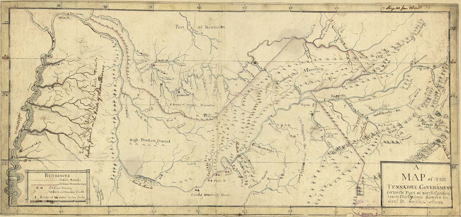
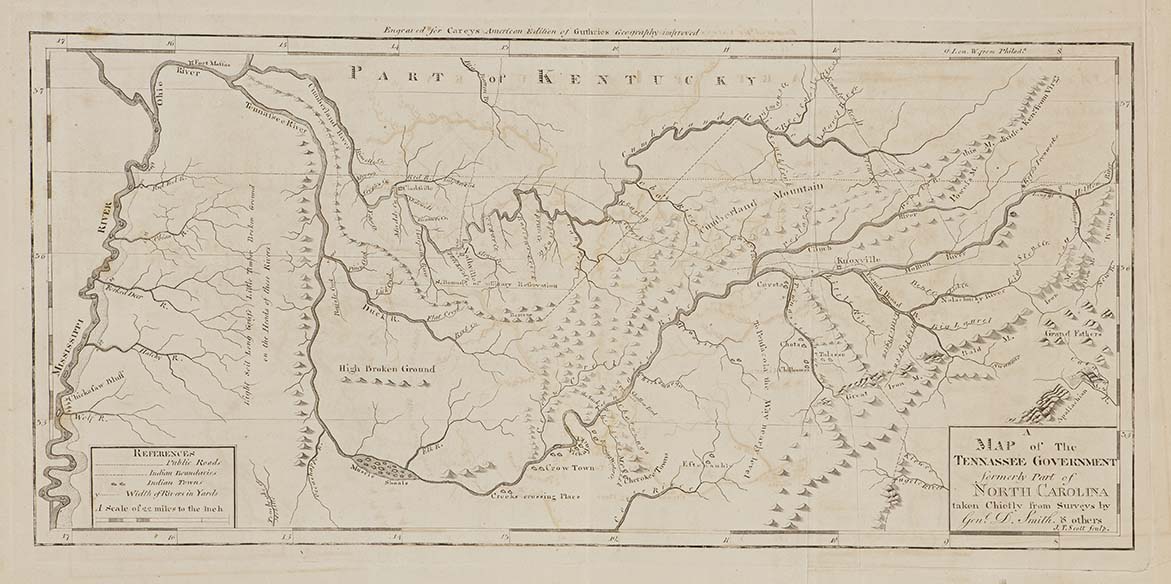
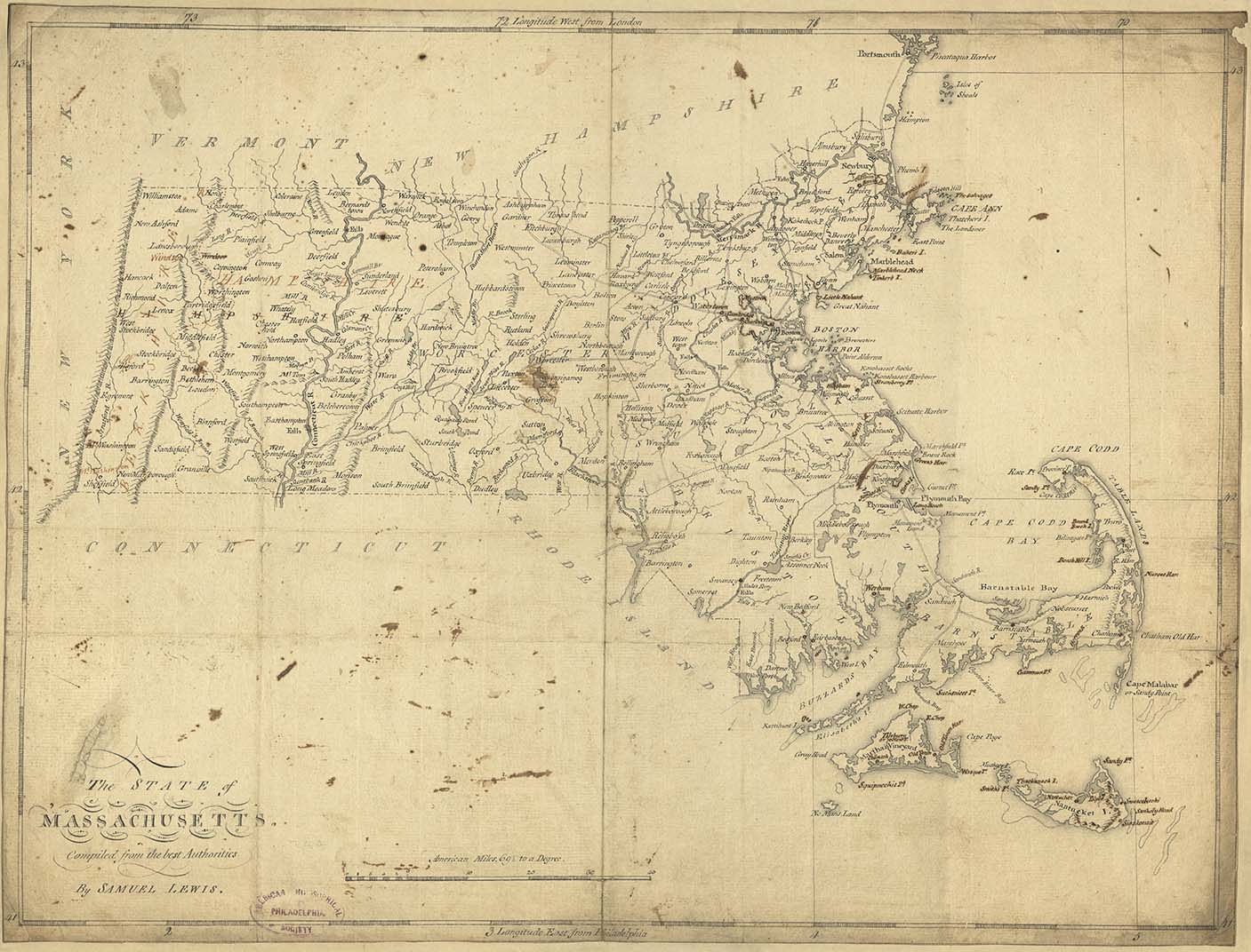
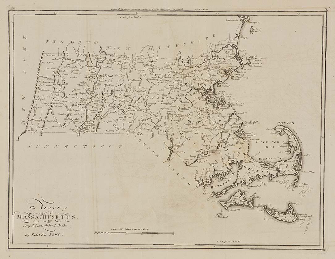
Mapping the States
Bringing the World Home
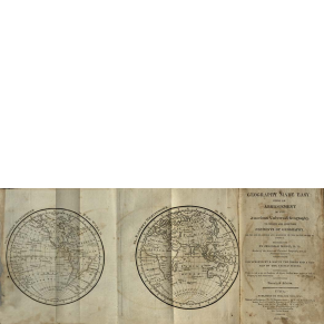
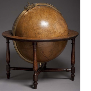
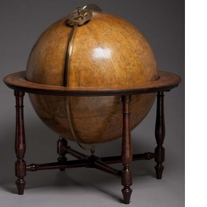
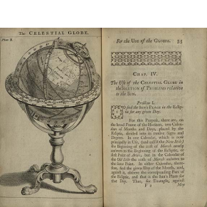
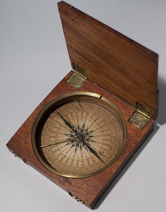
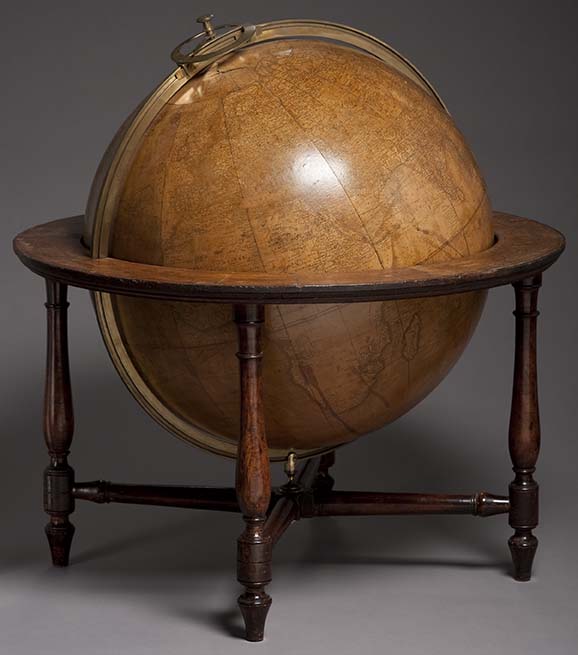
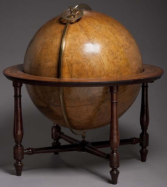
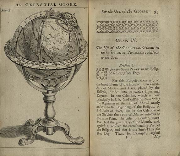
Globes helped people situate the new United States within a global context and understand the mathematical relationship between time and space. Globes were expensive and usually sold in pairs: celestial and terrestrial. The paired globes, often used with a compass, allowed people to make complex calculations. For example, people used globes to calculate the time difference between one place and another. Before automatic clocks and GPS, people used globes to learn the basic principles of navigation.

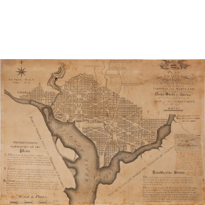
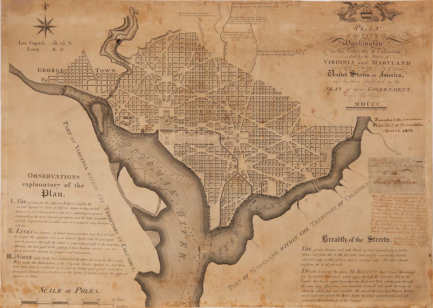
Surveying the Federal City
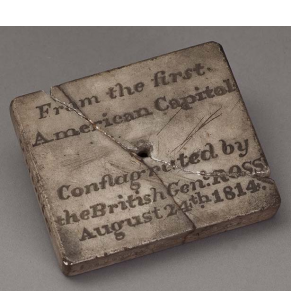
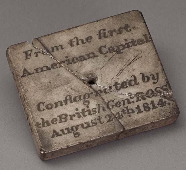
One of the first national projects was the creation of a federal capital. Envisioned as a neutral site between the North and South, Washington, D.C. was a constant source of contention—for Philadelphians who had hosted the federal government for a decade, for those who wanted the capital built elsewhere, and for others who thought the project was too expensive. A decade after the capital relocated to Washington, the British attacked it during the War of 1812, highlighting how important the city had become. The war heightened interest in defining American territory and gave renewed purpose to the mapping industry.